Nelson Lakes National Park
Nelson Lakes National Park
At the gateway to the Southern Alps, Nelson Lakes National Park protects two glacial lakes, beech forests and a network of trails ranging from day walks to six-day treks.
At the northern tip of the Southern Alps, Nelson Lakes National Park protects over 100,000 hectares (approximately 1,020 km²) of alpine landscapes, beech forests and glacial lakes. Its gateway village, Saint Arnaud, lies 1.5 hours' drive from Nelson or Blenheim, on the shores of Lake Rotoiti.
Why visit Nelson Lakes
The park condenses, within a compact territory, several facets of New Zealand's natural heritage: two deep glacial lakes, peaks exceeding 2,000 metres, U-shaped valleys left by the last glaciations and ancient beech forests. It is also a spiritually significant site for iwi of the northern South Island, and one of four national parks established in the 1950s, alongside Fiordland, Aoraki/Mount Cook and Te Urewera.
Visitor numbers remain moderate compared to the major southern parks, making it a favoured stop for trampers seeking lightly-trodden valleys, fly-fishers and travellers looking for a gateway between the Marlborough coast and the West Coast.
History and Māori heritage
According to oral traditions, Lake Rotoiti ("small waters") and Lake Rotoroa ("great waters") were said to have been carved by the legendary chief Rakaihautu using his sacred ko, a digging tool, to feed his people. Another tradition, held by Ngāti Apa and Rangitāne, attributes their formation to Kupe's battle with a giant octopus: the two lakes are said to be its eye sockets.
The region was never permanently settled but served as a passage corridor and mahinga kai (resource gathering site). Several iwi maintain deep spiritual connections to the area: Ngāti Apa ki te Rā Tō, Ngāti Kuia, Rangitāne o Wairau and Ngāti Rarua Tama ki Te Tau Ihu. Blue Lake (Rotomairewhenua) and Lake Constance (Rotopohueroa) were used for funeral purification rituals, while Mount Maniniaro (Angelus Peak) marked a stage in the spiritual journey of the deceased to Hawaiki.
European exploration began in the 1840s with Thomas Brunner and his Māori guide Kehu. The New Zealand Company claimed the land purchase in 1839, but this acquisition was invalidated in 1844; an agreement was finally signed in 1856, though it did not include all relevant iwi. The park was officially established in 1956 under the National Parks Act of 1952.
What to see and do
The two great lakes
Lake Rotoiti, more accessible, can be admired from the Saint Arnaud jetty, which has become one of the park's most recognisable photo points, especially in morning mist with black swans in the foreground. Lake Rotoroa, further south, is wilder and less visited; a trout fishing lodge has operated there since the 1920s.
Peaks and valleys
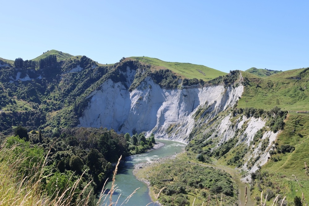
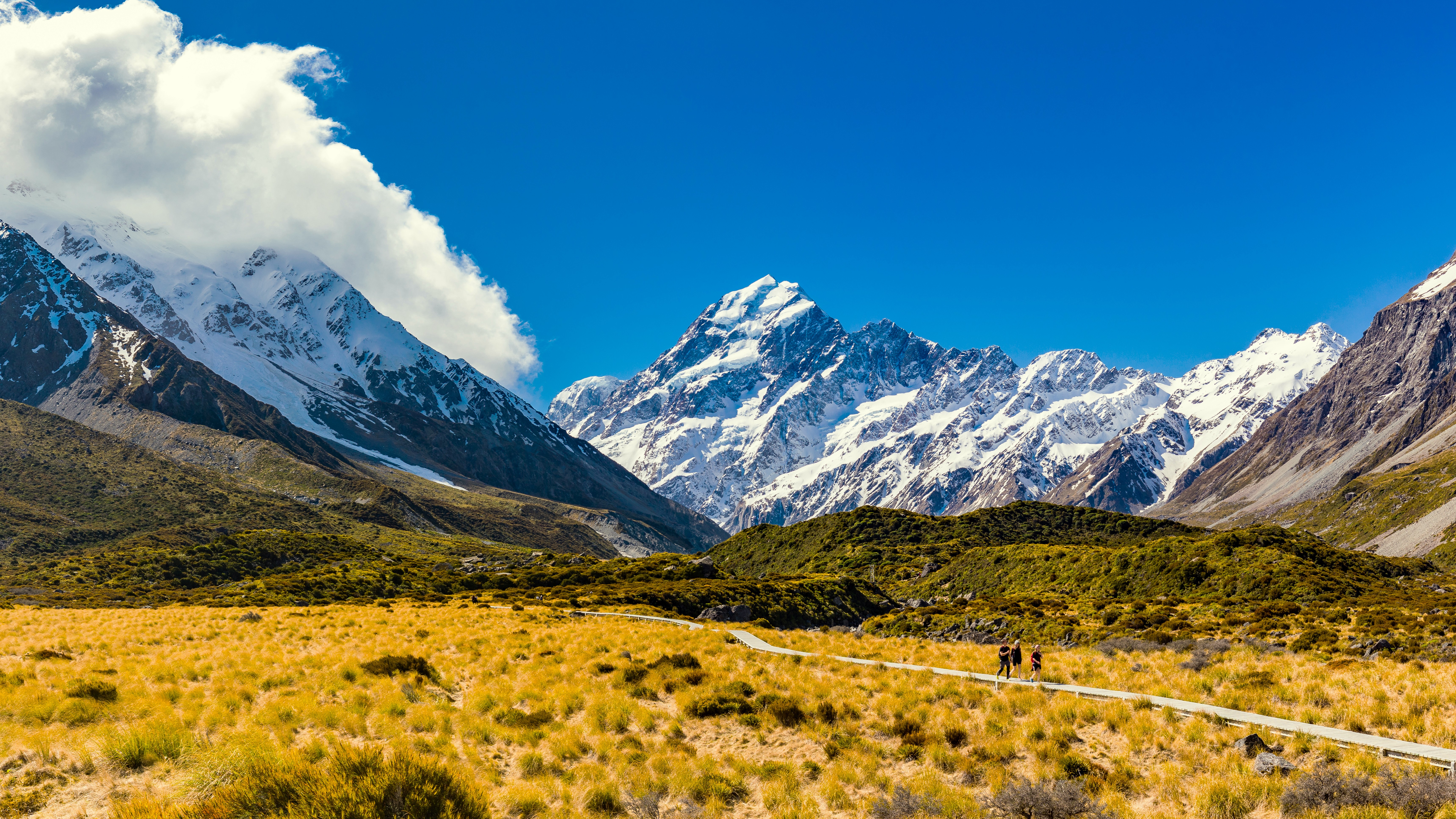
The terrain is dominated by the Travers Range, Saint Arnaud Range and Ella Range. Mount McKay and Mount Ella reach approximately 2,250–2,300 metres and preserve the northernmost permanent snowfields of the South Island, on the Ella and Hopeless ranges. Three major glacial valleys—Travers, Sabine and D'Urville—drain the waters that feed the lakes.
Hiking
The trail network covers all levels:
- Short walks along the water's edge: Lake Rotoiti Nature Walk, Peninsula Walk, Bellbird Walk and Honeydew Walk, accessible to all.
- Mount Robert: half-day ascent offering a complete panorama of Lake Rotoiti.
- Lake Angelus: high-altitude trail much favoured for a day trip or overnight in a hut.
- Travers-Sabine Circuit: 4 to 6-day loop through valleys, alpine passes and beech forests.
- Te Araroa: the country's long-distance walking trail passes through the park.
Forests, birds and biodiversity
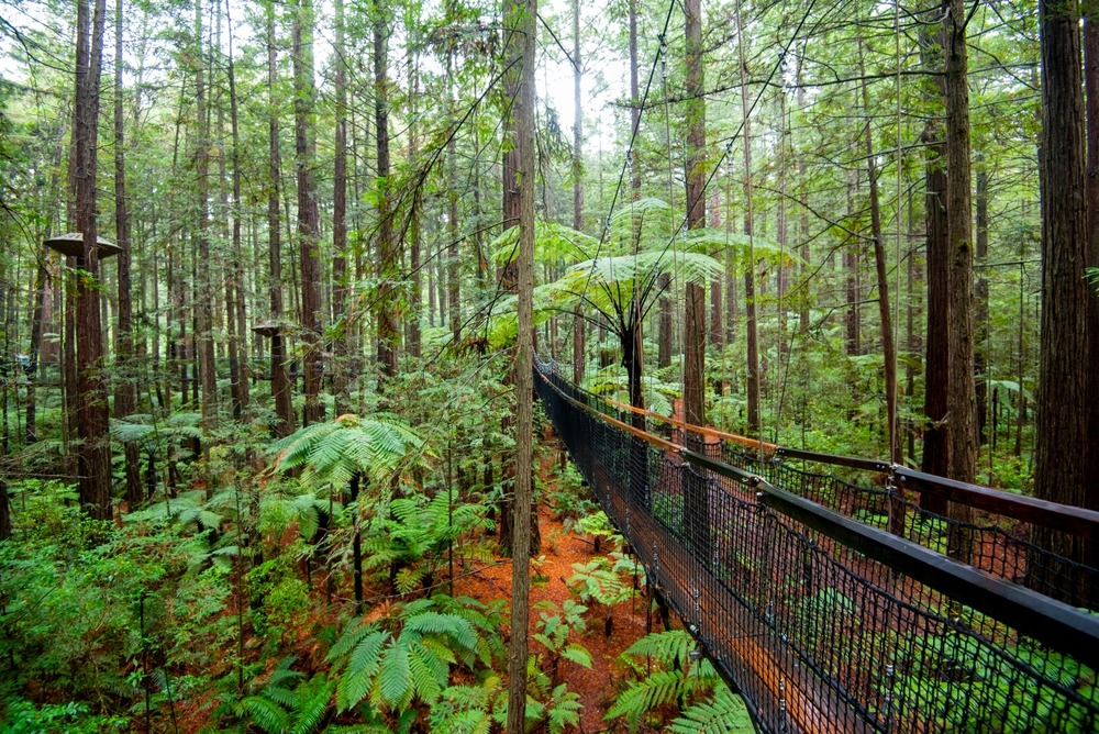
Beech forests (red, black, silver and mountain varieties) dominate the canopy; rimu, rātā and kahikatea appear near the lakes. Honeydew produced by scale insects living on beech trees forms a central food resource for birds, insects and lizards. Wildlife includes the kākā, kākāriki, kea, whio (blue duck), kererū and weka. Cupola gecko, long thought extinct, was rediscovered in the park, which also harbours the long-tailed bat. The Rotoiti Nature Recovery project, led by the Department of Conservation, aims to restore this fragile ecosystem.
Other activities
- Brown trout fishing on the Buller, Gowan, Travers and Sabine rivers.
- Boating on Rotoiti and Rotoroa, with water-taxi services to remote trailheads.
- Alpine skiing, snowboarding and ski touring at Rainbow Ski Area, on the park's upper slopes.
- Mountain biking in the Teetotal zone, with Rattler Rim and Maitland Ridge trails.
- Stargazing, favoured by minimal light pollution around Saint Arnaud.
When to go
The park can be visited year-round, with very different activities depending on season.
- December to March (Southern summer): prime window for long-distance tramping, the Travers-Sabine Circuit and access to alpine passes. Trails are clear, days are long, and huts are busier (advance booking advised).
- April-May: autumn colours, fewer visitors, conditions generally stable at mid-altitude.
- June to September: skiing season at Rainbow Ski Area, snowshoeing and ski touring. High-altitude trails require winter experience.
- October-November: fishing season restart, variable conditions, possible snow at altitude.
Practical advice
Mountain weather changes rapidly: pack warm clothing, windproof jacket, water and sufficient food, even for day trips. The Department of Conservation visitor centre at Saint Arnaud provides maps, up-to-date conditions and information on trail closures.
For hut stays or camping on Great Walks and certain park huts, advance booking and a DOC pass are required. Allow half a day to a full day for a visit focused on Rotoiti and Mount Robert, two to six days for a valley-and-pass trek.
How to get there
Saint Arnaud, the park's main gateway, lies approximately 1.5 hours' drive north-west of Nelson and north-east of Blenheim. A rental car or campervan remains the most practical access method; a few tourist shuttles serve the village in season. Once there, a water-taxi service operates on Lake Rotoiti and Lake Rotoroa to reach trailheads at the southern ends of the lakes, avoiding several hours of approach walking.
Nearby attractions
Nelson Lakes fits naturally into a wider itinerary through the South Island's national parks and coastlines:
- The Arthur's Pass National Park, another iconic alpine crossing, further south on the route between Christchurch and the West Coast.
- Fiordland National Park, founded in the same period and renowned for its fjords and Great Walks.
- Cape Foulwind, on the West Coast, accessible by continuing towards Westport.
- The Banks Peninsula, south-east of the island, to combine alpine and volcanic coastal scenery.
Frequently asked questions
Frequently asked questions
December to March for tramping and multi-day treks, June to September for skiing and snowshoeing at Rainbow Ski Area. Autumn (April-May) offers beautiful colours and quieter visitor numbers.
One day is enough for walks around Lake Rotoiti and the jetty. Allow two days to add Mount Robert or Lake Angelus, and four to six days for the Travers-Sabine Circuit.
Saint Arnaud, on the shores of Lake Rotoiti, has most accommodation options (lodges, B&B, DOC campsite). Lake Rotoroa offers a historic lodge focused on fishing. Mountain huts require advance booking.
Planning the rest of your trip
Nelson Lakes fits naturally into a circuit connecting the Marlborough Sounds, West Coast and Southern Alps. To build a tailor-made itinerary including this park and other natural highlights, consult our New Zealand journeys.
Interested in this visit?
We can include it in your personalised itinerary.