West Coast and Southern Alps
600 km between rainforests and glaciers on the west side, turquoise lakes and starlit skies on the east: the most contrasting traverse of the South Island.
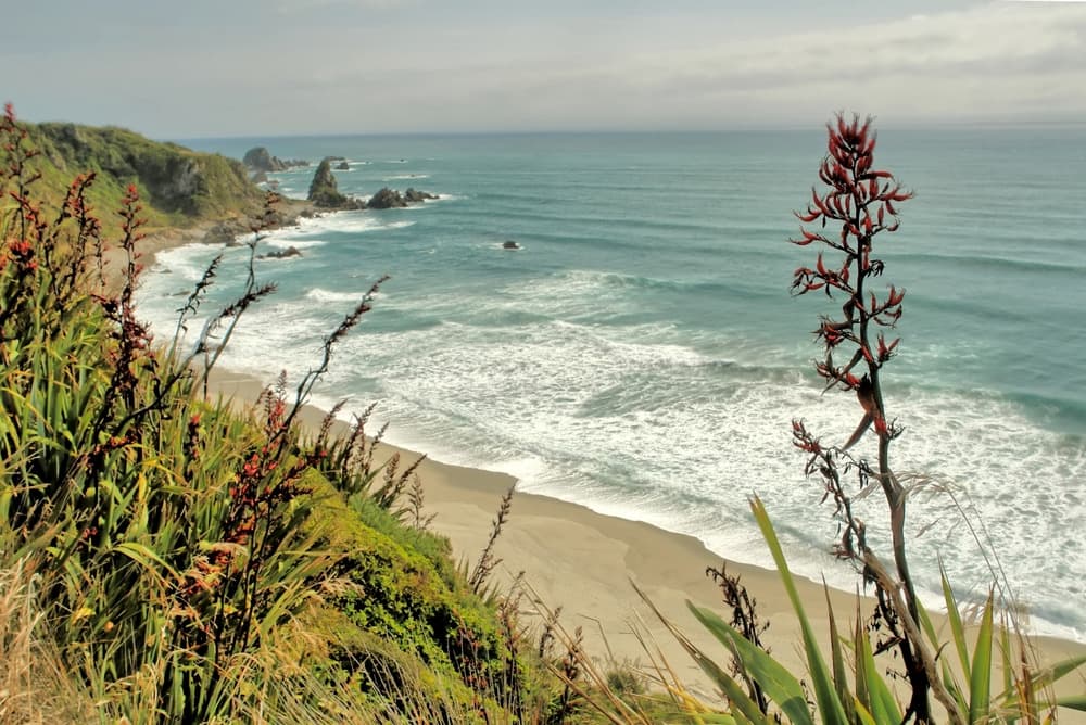
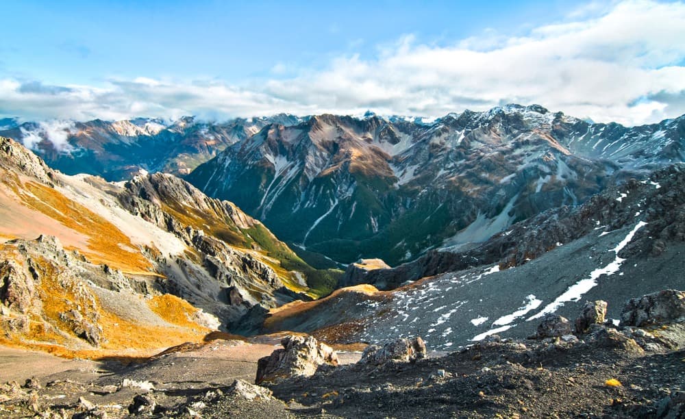
The West Coast of the South Island stretches nearly 600 kilometres between Karamea in the north and Haast at the southern tip. It's a narrow strip wedged between the Tasman Sea and the ridgeline of the Southern Alps, where rainfall exceeds 6,000 mm annually in certain pockets like Hokitika. This constant moisture feeds a dense temperate rainforest dominated by rimu and tree ferns, sometimes descending to black sand beaches pounded by swell. Just 100 kilometres to the east as the crow flies, the climate shifts entirely: dry slopes, turquoise glacial lakes, golden tussocks of the Mackenzie Basin. This duality defines the region, which is why our English-speaking team treats it as a unified whole rather than separate territories.
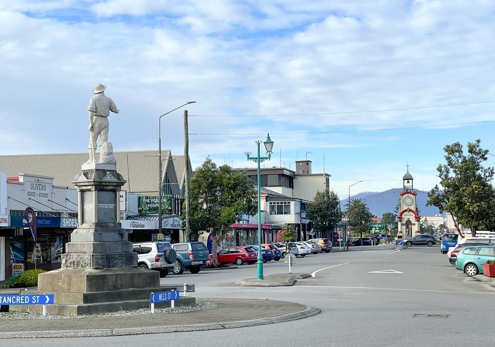
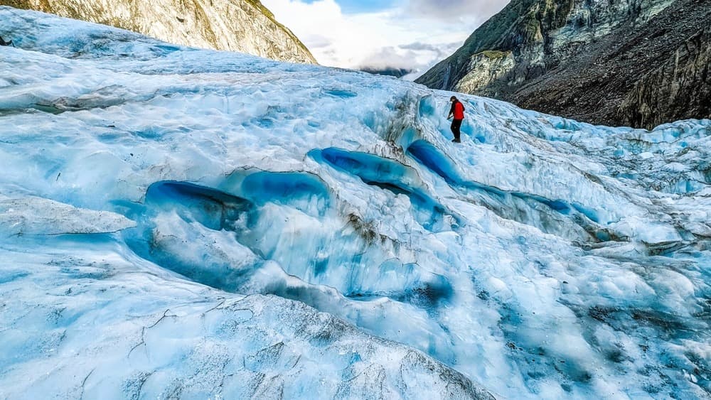
The West Coast was shaped by the gold rush of the 1860s around Hokitika and Reefton, then by pounamu extraction—the green jade that Ngai Tahu Māori still craft today. Hokitika remains the centre of this lapidary tradition: a dozen workshops showcase stone-cutting. Further south, Franz Josef and Fox Glacier villages thrive almost exclusively on glacier tourism, with a rare geographical distinction: they are two of the world's only temperate glaciers descending below 300 metres in altitude, surrounded by subtropical forest. Access to glacial tongues now happens via heli-hiking, since glacier fronts retreated in the 2010s. Expect NZD 450–600 per person for 3 hours on the ice.
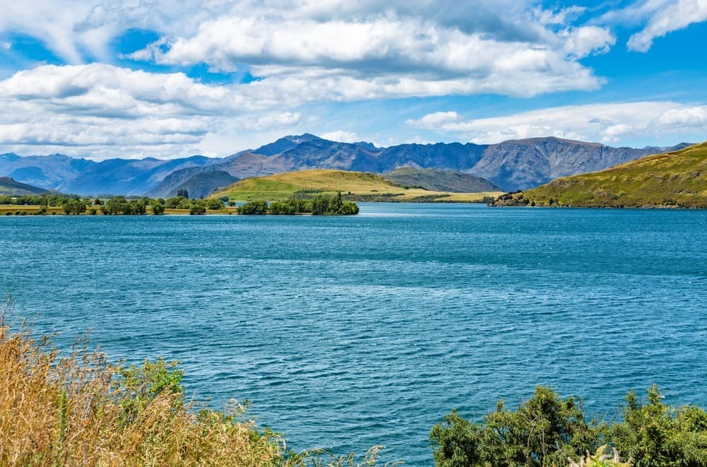
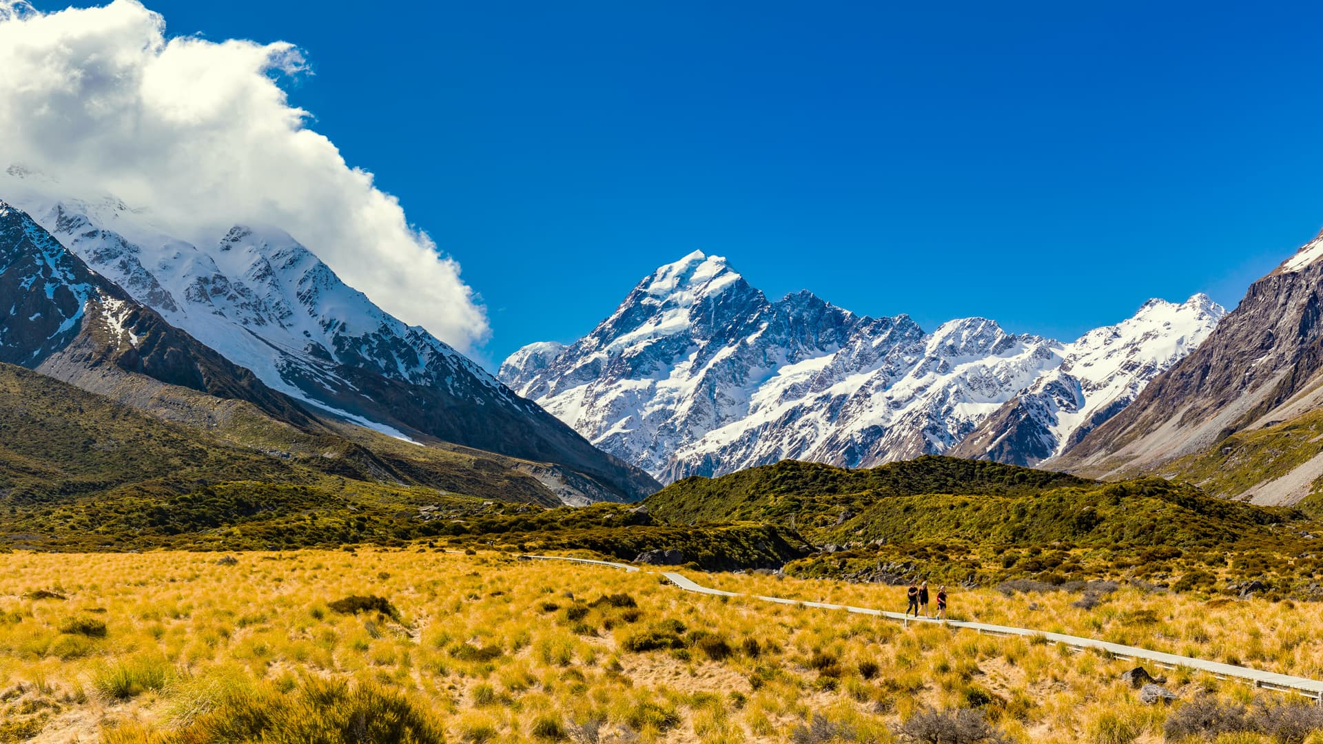
Past Haast Pass (563 m), the rain stops. State Highway 6 traces Lakes Wanaka and Hawea, then branches toward Queenstown or climbs toward the Mackenzie Basin. Here, around Tekapo and Pukaki, lie the high-altitude landscapes many travellers associate with New Zealand: milky waters laden with glacial flour, lupins blooming November to January, all framed by Mount Cook (Aoraki), 3,724 metres, the country's highest peak. The Aoraki Mackenzie International Dark Sky Reserve, established in 2012, covers 4,300 km² and strictly limits public lighting: on clear nights, the Milky Way is visible to the naked eye from Lake Tekapo's car park.
The village of Aoraki/Mount Cook, at the end of State Highway 80, is our departure point for national park walks: the Hooker Valley Track (10 km return, 3 hours, accessible to all) follows three swing bridges and ends at the terminal lake of Hooker Glacier, where icebergs drift even in summer. More demanding are ascents of Mueller Hut (1,800 m elevation gain) or Ball Pass, both requiring a guide. For dining, savour salmon raised in Twizel's glacial water channels, West Coast whitebait (short season, September–November), and Pinot Noir from Gibbston Valley, 1.5 hours from Wanaka.
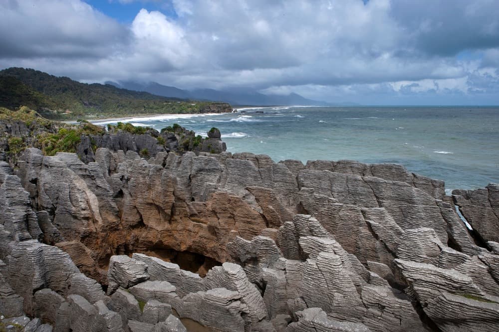
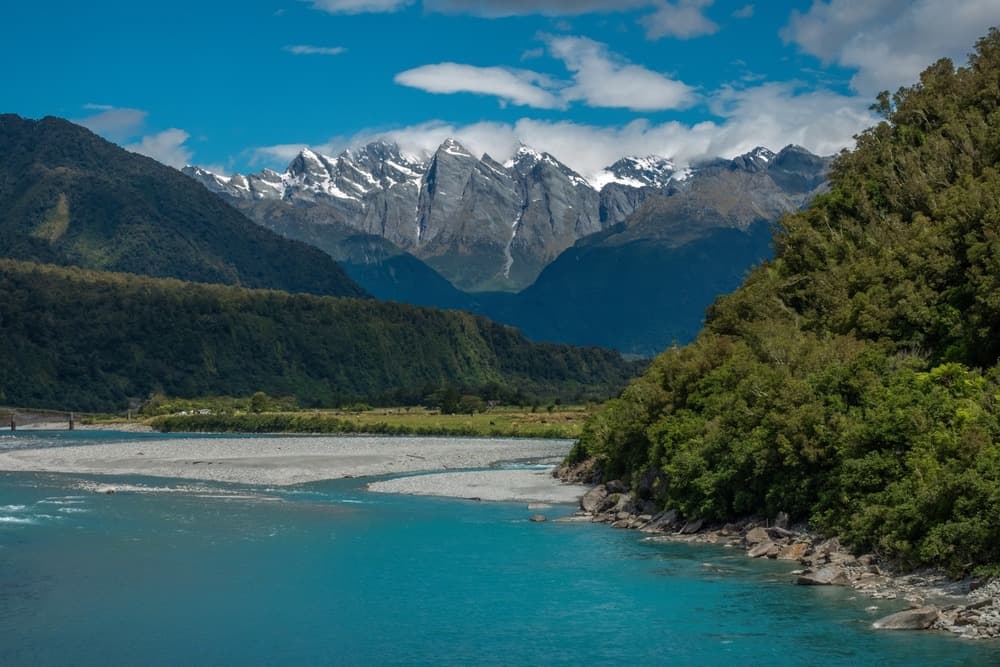
State Highway 6, which runs through the entire region north to south, ranks among the South Island's most-travelled routes, yet remains quiet outside peak season. Between Greymouth and Wanaka, allow 560 kilometres and a minimum three days, pausing at Punakaiki's Pancake Rocks (stratified limestone formations and spectacular blowholes at high tide), Hokitika Gorge footbridge, and Lakes Matheson and Moeraki, whose photogenic reflections come from water darkened by vegetable tannins. Our Wellington office plans itineraries based on five-day forecasts: on the West Coast, a one-day delay often means not missing a glacier entirely.
Must-see experiences
Hooker Valley Track beneath Aoraki. Three swing bridges, 10 kilometres return with no difficulty, and at trail's end a lake scattered with icebergs calved from Hooker Glacier. Mount Cook's south face rises 2,500 metres on the horizon.
Heli-hiking on Franz Josef. Helicopter drop at around 1,200 metres onto the glacial tongue, then 2 hours of crampon-equipped walking between seracs and blue cavities. This has been the only way, since 2012, to reach the ice—the terminus is now inaccessible on foot.
Starlit skies at Lake Tekapo. The Aoraki Mackenzie International Dark Sky Reserve limits lighting across 4,300 km². From Mount John Observatory at 1,030 metres, observe the Southern Cross and Magellanic Clouds through 40-cm telescopes.
Punakaiki Pancake Rocks. Limestone stacks eroded into neat layers, 20 metres high, pierced by chimneys where Tasman Sea swell sprays at high tide. A 20-minute loop walk above the cliffs.
Pounamu carving in Hokitika. Green jade, sacred to Ngai Tahu, is extracted only from West Coast rivers. Several central-town workshops demonstrate diamond-wheel work, from raw stone to finished pendant.
When to visit
The best window runs November to April. On the West Coast, expect 15–22°C during the day in summer, but prepare for intense rainy episodes: 200 mm can fall in 48 hours at Fox Glacier, even in January. December and January see the heaviest crowds, with marked busy periods at Franz Josef and Tekapo, where accommodation fills 6–9 months ahead. February and March offer better balance: stable temperatures, lupins still present along Lake Tekapo early in the season, smaller crowds.
Winter (June to September) closes some West Coast glacier activities due to instability, and Haast Pass may shut for hours after heavy snowfall. In the Southern Alps, however, winter brings exceptionally clear skies: temperatures from –5 to 5°C at Tekapo, snow on Aoraki, ideal for astronomy. Avoid May and October, damp shoulder seasons when many operators reduce services.
Practical advice
Three days suffice to traverse the region between Greymouth and Wanaka, but we recommend five to seven days to include two nights at the glaciers, two in the Aoraki/Tekapo area, and a weather buffer day. The most common logistics entry point is Christchurch Airport, 3.5 hours from Tekapo and 4 hours from Arthur's Pass, the col leading to the West Coast. For southern exit, Queenstown Airport allows onward travel to Fiordland.
The most coherent combination pairs naturally with Otago and Canterbury, which extend the Southern Alps sequence, and with Fiordland and Southland for two-week South Island travellers. Comfort is decent but unpretentious: lodges, motels, and family B&Bs dominate, aside from a few high-end properties in Wanaka and Tekapo. The region particularly suits independent hikers, photographers, and families with children over eight capable of managing full driving days punctuated by short walks. Travellers seeking only beaches or city life will find less to their taste.