Fiordland and Southland
Fourteen granite-carved fjords, 6,800 mm of annual rainfall at Milford, wild kiwis on Stewart Island and Bluff oysters: the far southwest corner of New Zealand.
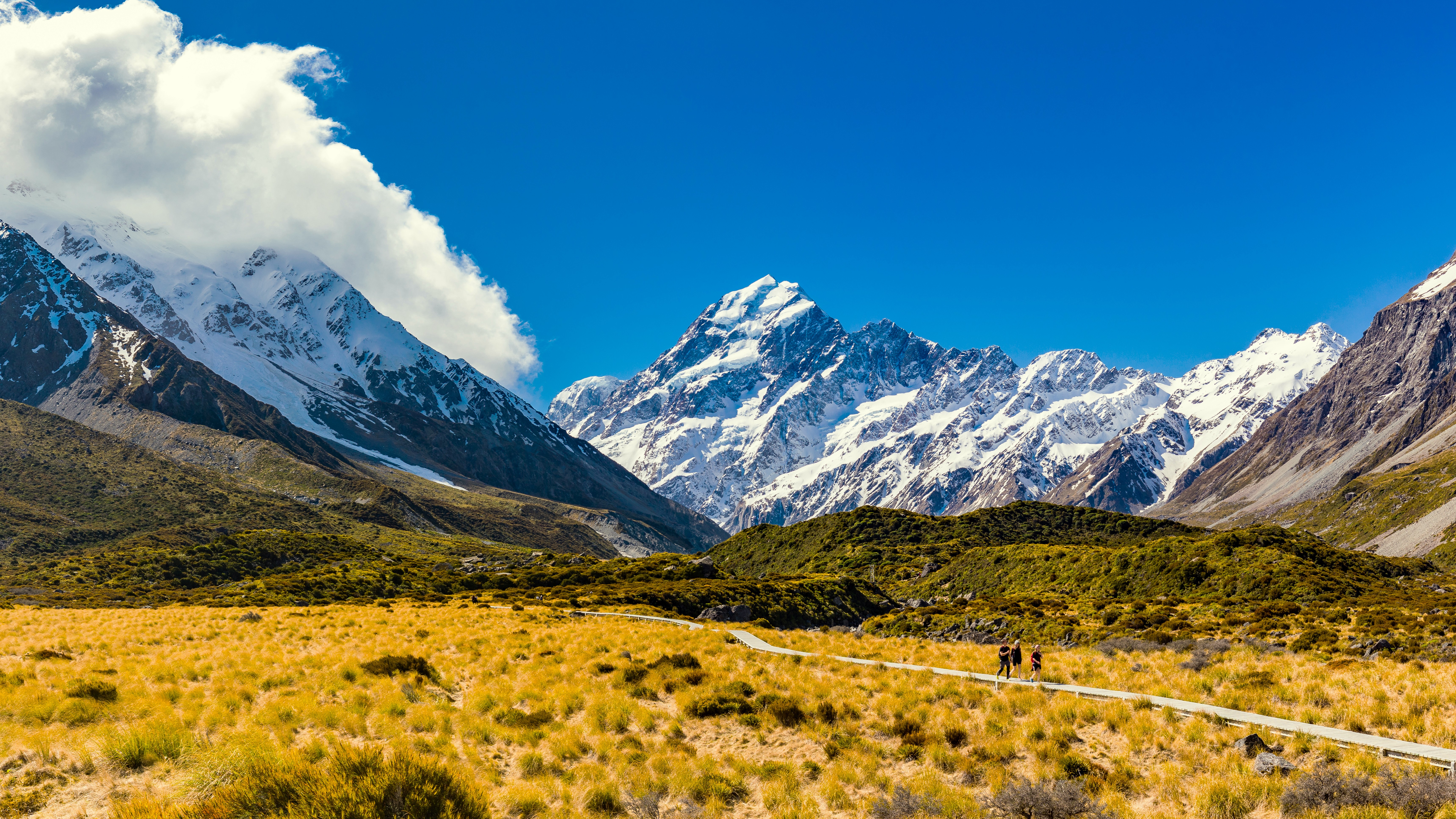
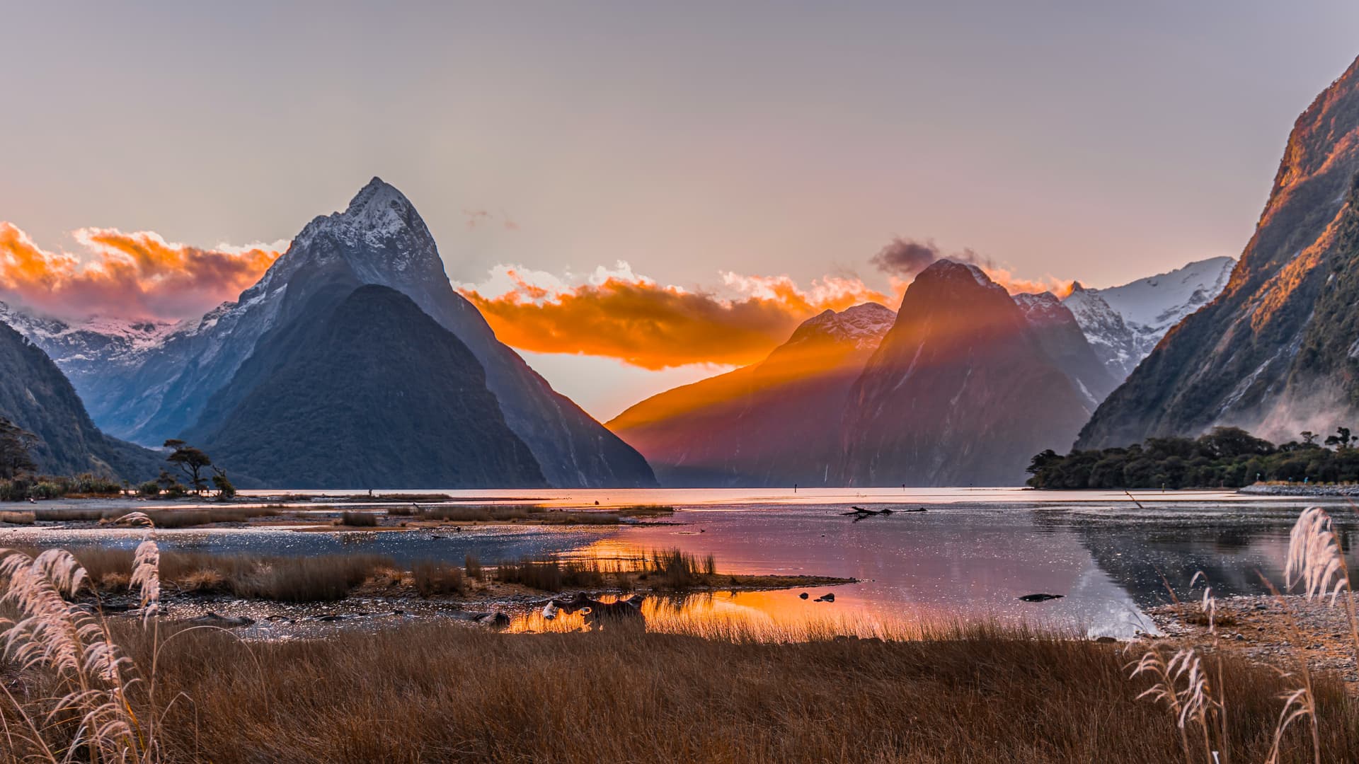
Fiordland and Southland form the southwest tip of the South Island, a 32,000 km² region where population density drops below 2 inhabitants per km² outside Invercargill and Te Anau. Here the alpine chain plunges directly into the Tasman Sea, sculpted by Pleistocene glaciation into fourteen deep fjords. Fiordland National Park, at 12,500 km², is inscribed as a World Heritage site as part of Te Wahipounamu and covers an area comparable to Montenegro itself.
Our agency bases departures from Te Anau, a small town of 2,700 residents on the shores of New Zealand's second-largest lake. It serves as the supply point before venturing into the Eglinton Valley and passing through Homer Tunnel, a 1.2 km tube carved through granite at 945 m altitude that opens onto the descent toward Milford Sound. The road, State Highway 94, remains one of the park's few sealed thoroughfares: everything else is traversed on foot, by boat, or by floatplane. Doubtful Sound, more vast and wild than Milford, is reached via a crossing of Lake Manapouri and passage over Wilmot Pass, which naturally limits visitor numbers.
Climate shapes everything here. Milford Sound receives an average of 6,800 mm of precipitation annually, spread across 180 days. This rainfall feeds hundreds of temporary waterfalls that surge down gneiss cliffs after each downpour, including the Stirling Falls (151 m) and Lady Bowen Falls (162 m), both permanent. Further east, in the agricultural Southland around Gore and Winton, the climate turns temperate and windy, favourable for sheep farming and wheat cultivation. The region also produces the majority of New Zealand's industrial cheddar, from the factories in Edendale.
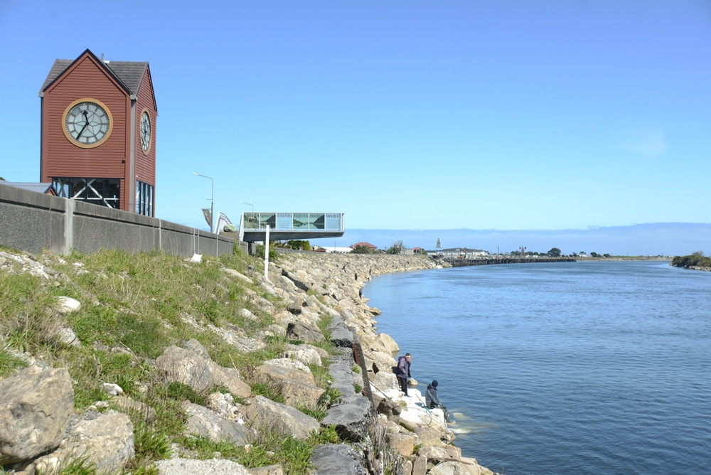
Maori heritage remains vibrant along this coast. The Ngāi Tahu, the South Island's iwi, regard Piopiotahi (the Maori name for Milford Sound) as the work of the demigod Tū-te-raki-whānoa, who carved the fjords with his adze. At Bluff, a fishing port of 1,800 inhabitants at the continent's southernmost point, the flat oyster season for Ostrea chilensis opens on 1 March and runs until the end of August: it is the region's signature product, celebrated annually at the Bluff Oyster Festival each May.
To the southeast, the Catlins stretch 100 km of coast between Balclutha and Invercargill. Temperate rainforest descends to the beaches of Curio Bay, where a petrified Jurassic forest 180 million years old surfaces. This coast harbours one of the last populations of yellow-eyed penguins, the hoiho, with roughly 200 breeding pairs in decline. New Zealand fur seals, Phocarctos hookeri, haul out on the beaches of Surat Bay and Cannibal Bay.
Finally, Stewart Island, or Rakiura, accessible by 1 hour of ferry from Bluff (or 20 minutes by air), forms the region's third territory. 85% of the island is protected within Rakiura National Park. On its 28 km length, fewer than 400 permanent residents live alongside roughly 20,000 tokoeka kiwis, making it the only place in the country where spotting a wild kiwi in its natural state remains statistically probable during a guided nocturnal outing.
Things to discover
Nocturnal cruise on Doubtful Sound. Embark at Deep Cove after crossing Lake Manapouri, 22 hours aboard to explore Hall Arm and First Arm. Engines cut at dusk, listening to the calls of kiwis and kea on the mountainsides.
Milford Track over 4 days. 53.5 km from Glade Wharf to Sandfly Point, crossing MacKinnon Pass at 1,154 m, overnight stays in DOC-managed huts. Mandatory booking 6 months in advance for the October to April season.
Nocturnal kiwi outing at Rakiura. A 2 to 3-hour walk on Glory or Ocean Beach after nightfall, using a red torch. The tokoeka, unlike other kiwis, emerges during the day as well and tolerates human presence more readily.
Catlins coast self-drive. Nugget Point lighthouse on its rocky promontory, the tiered Purakaunui Falls cascade in the rimu forest, Curio Bay's petrified forest visible only at low tide.
Oysters and Stewart Island Ferry at Bluff. Taste Bluff oysters at Fowler's during season, photo at the road sign marking the end of State Highway 1 at Stirling Point, boarding for Oban on the Foveaux Express.
When to visit
The best window extends from late October to late April. Temperatures in Te Anau range between 8 and 22 °C, daylight exceeds 15 hours in December and January, and the Great Walks (Milford, Kepler, Routeburn) operate fully with staffed huts. January and February remain the relatively driest months, yet Milford Sound never experiences a truly dry season: expecting rain one day in two is realistic. Sandflies, those biting midges, peak from November to March, especially in late afternoon near water.
From May to September, Fiordland enters its southern winter. Homer Tunnel may close for several days due to avalanche risk, the Milford Road requires chains, and several Milford Track huts are downgraded to basic shelters. Temperatures drop to 0 °C at night in Te Anau, and rime fog is frequent in the Catlins. This is, conversely, the season for southern lights, visible from Stewart Island several nights a month, and cruise numbers drop sharply. March and April offer a good compromise: autumn colours on the red beeches, still-mild temperatures, and the sandfly season's end.
Practical advice
We recommend a minimum of 5 days on the ground to properly combine Te Anau, a cruise on Milford or Doubtful, and a visit to the Catlins or Stewart Island. Allow 7 days if you wish to include a 3 to 4-day trek on one of the Great Walks. Distances deceive: Te Anau-Milford is 119 km but takes 2 h 30 without stops, and the road merits several pauses (Mirror Lakes, Chasm Walk, Eglinton Valley). Queenstown remains the most convenient arrival airport, 2 h 15 drive from Te Anau; smaller Invercargill serves those combining the Catlins first.
The region connects logically with the West Coast and Southern Alps (cote-ouest-alpes-sud) by heading up via Wanaka and Haast Pass, or with Otago and Canterbury (otago-canterbury) via Queenstown and Dunedin. Comfort ranges from isolated fjord-side lodges to rural homestays in the Catlins; luxury options remain rare outside two addresses in Te Anau and Stewart Island. This destination suits hikers, contemplatives, and wildlife observers. Families with young children will find their footing with cruises and short walks, avoiding long driving stages in the rain.