Fox Glacier
Fox Glacier
A 13 km glacier descending into the rainforest of the West Coast, Fox Glacier combines Heli-Hike, Maori legend and perfect reflections of Mount Cook.
Nestled in the heart of the West Coast of New Zealand's South Island, Fox Glacier is one of the most accessible and spectacular glaciers in the world. With its breathtaking landscapes, proximity to tropical rainforest and cultural richness, it embodies the natural diversity of New Zealand. Discover this spectacular destination to visit during a trip to New Zealand.
A glacier at the crossroads of worlds
Perched in the Westland Tai Poutini National Park, Fox Glacier is a true natural jewel. At 13 km long, this temperate maritime glacier originates at 2,600 metres altitude in the snow-capped peaks of the Southern Alps, at the foot of Mount Tasman. What makes it unique is its spectacular descent to just 300 metres above sea level, where it weaves through lush rainforest.
Fed by four alpine glaciers, Fox Glacier is one of only two glaciers in this region to approach the coast so closely, situated just 15 km away. Its terminus tongue, visible near the village of Fox Glacier, has been for decades one of the most accessible in the world, attracting hikers, photographers and nature lovers.
This glacier continues to evolve. After more than a century of retreat, it experienced a period of dynamic advance between 1985 and 2009, sometimes reaching a rate of one metre per week. In January 2009, its steep walls were collapsing regularly due to glacial thrust. Since then, it has retreated again, but the scars of this advance, such as a vegetation line on the slopes, remain visible.
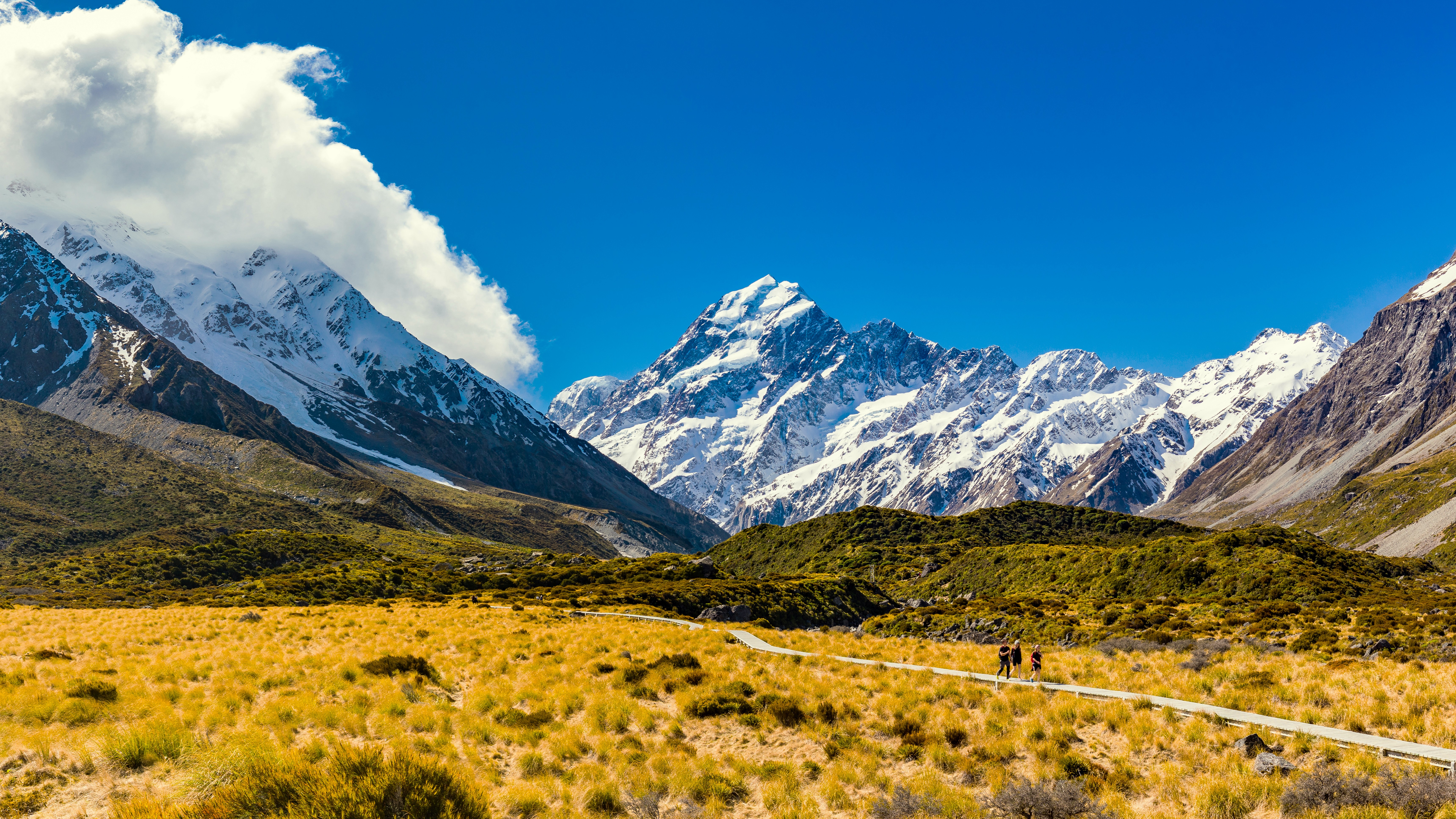
Fox Glacier also bears witness to its distant past: during the last ice age, it extended far beyond the current coast, sculpting the landscape and leaving behind moraines. It was in one of these depressions that the famous Lake Matheson was born, known for its perfect reflections of Mount Cook and Mount Tasman. A fine photograph at dawn often reveals incredible mirror images.
History of Fox Glacier in New Zealand
Descending to just 300 metres above sea level, Fox Glacier traverses a lush temperate forest, a rare and exceptional contrast. This glacier bears a double name: "Fox" in honour of Sir William Fox, former Prime Minister of New Zealand who visited the region in 1872, and "Te Moeka o Tuawe", its ancestral Maori name, meaning "the death bed of Tuawe". This Maori name refers to a local legend in which Tuawe, companion of climber Hine Hukatere, dies swept away by an avalanche. Heartbroken, Hine weeps torrents of tears, which the sky transforms into ice (giving rise to the neighbouring Franz Josef Glacier). Fox Glacier is said to be Tuawe's resting place.
Discovered by Europeans in 1857 with the help of Maori guides, Fox Glacier was mapped a few years later by geologist Julius von Haast. He had named it "Albert" at the time, but this name was changed following Sir William Fox's visit.
Moreover, Fox Glacier experienced a period of rapid advance for nearly 25 years, but is now retreating, impacted by climate change. It continues however to feed the Fox River through snowmelt.
Since the 1920s, the site has attracted visitors from around the world, drawn by its unique landscapes and rich cultural dimension. In 1998, the official recognition of its Maori name alongside its English name symbolises the meeting between indigenous memory and colonial history.
Fox Glacier Village
Fox Glacier village is located a few kilometres from the glacier of the same name. Modest in size, everything is accessible on foot: petrol stations, a small supermarket, comfortable accommodation, warm restaurants and some tourist shops. Less frequented and quieter than Franz Josef village, located a little further north, Fox Glacier Village appeals with its intimate and relaxed atmosphere.
The village is also a strategic starting point for exploring the surroundings: shuttles like Fox Tours and Shuttles make it easy to reach Fox Glacier, the magnificent Lake Matheson or even the wild Gillespies Beach, just a few kilometres away.
Located near Fox Glacier village, Fox Glacier is accessible on foot via a well-marked trail that offers a unique immersion in a glacial and forested environment. The hike to the main observation platform, known as Fox Glacier South Side Walkway, is an easy walk accessible to everyone, taking approximately 1 to 2 hours return.
After just 5 minutes of walking, the glacier is already visible in the distance. As you progress, the view becomes clearer, and the last part of the trail, somewhat steeper, leads to a platform located about 500 metres from the glacier front. This is the closest point authorised for admiring the impressive mass of ice.
It is important to note that you must respect the safety limits indicated on site. Several fatal accidents have occurred in the past when visitors crossed the protective barriers. The glacier, while seemingly motionless, remains an unstable and dangerous environment.
Hikes and trails
The main hiking trails are as follows:
- Fox Glacier South Side Walkway: This accessible walk follows the Fox River through mossy tropical forest. In approximately 40 minutes, it leads to a viewpoint of the glacier, although it remains 2.6 km away.
- Mount Fox Route: Reserved for experienced hikers, this steep ascent (1,200 m elevation gain) leads to a summit offering spectacular views of the glacier, the Southern Alps and the Tasman Sea. However, this hike should be avoided in bad weather or without proper preparation.
- Moraine Walk: This is a short forest hike interesting for its informational panels on glacier retreat, but it offers no direct view of the glacier.
- Minnehaha Walk: This night-time walk allows you to observe glowworms in a magical atmosphere. It is easy, short and ideal for families.
- Robert Point Track: For more experienced hikers, this more challenging trail allows access to a magnificent viewpoint situated high above the glacier, with temperatures that can be cool even in summer.
Heli-Hike or helicopter flights
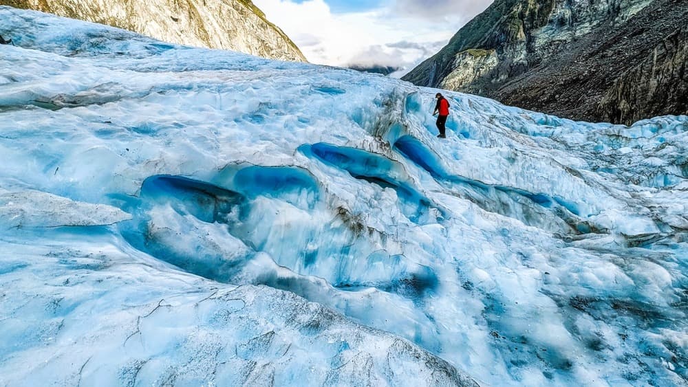
For a unique adventure, helicopter tours allow you to land directly on Fox Glacier. This is a popular option for those seeking an unforgettable experience in a frozen world. A 3-hour Heli-Hike includes a guided walk on the ice, with all equipment provided (crampons, jackets, poles, etc.). It is simply recommended to bring water, snacks, sunglasses, sunscreen, and in winter, a hat and gloves. The panorama from the sky is exceptional, between crevasses, frozen waterfalls and snow-capped peaks. Children from 9 years old can participate.
The adventure lasts approximately 3 hours, with two short flights of 30 minutes each, and a guided walk on the glacier. Once on the ice, visitors will explore blue ice tunnels, ephemeral natural sculptures and frozen landscapes stretching to the horizon. Departure is from Fox Glacier village. The price is approximately 673 NZD per person.
What to see around Fox Glacier?
Lake Matheson, located 5 or 6 km from the village, is one of the most emblematic places in the region. Formed about 14,000 years ago by glacier retreat, this peaceful lake is renowned for its perfect reflections of Mount Cook and Mount Tasman, visible in clear weather. A 4.4 km loop allows you to easily circumnavigate it, with incredible viewpoints, particularly at dawn, when golden light enhances the peaks and clear waters.
Nearby, continuing on Cook Flat Road, is Peak View Lookout, approximately 10 km west of the village. This viewpoint offers an exceptional panorama of the Southern Alps and the Fox Glacier névé. It is an ideal place for a picnic break, with an orientation table to better understand the surrounding landscape, particularly striking at sunset.
Information and practical advice
The best season to discover Fox Glacier extends from November to March, during New Zealand's summer. This period offers milder and more stable weather, ideal for exploring the region on foot or by helicopter. However, weather can change rapidly, even in summer, so it is essential to prepare for all conditions, taking into account sometimes strong winds at altitude. Also remember to pack: map, first aid kit and camera.
Furthermore, it is crucial to inform someone of your itinerary and estimated return time. Finally, if you wish to use a drone on land protected by the Department of Conservation (DOC), official authorisation is mandatory.
Accommodation in Fox Glacier
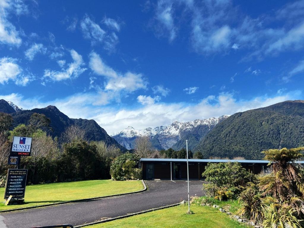
Sunset Motel Fox Glacier
Motel de 25 studios et appartements de plain-pied à Fox Glacier, face aux Southern Alps. Base pratique pour explorer glaciers, Lake Matheson et West Coast.
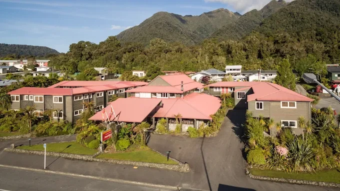
Heartland Hotel Fox Glacier au New Zealand
Hôtel historique de 1928 dans le village de Fox Glacier, au cœur du parc du patrimoine mondial de Westland. Étape logique pour explorer le glacier et la côte ouest.
Want to discover this destination?
Our local advisors design your tailor-made trip.