Fiordland National Park
Fiordland National Park
New Zealand's largest national park and centrepiece of the Te Wahipounamu UNESCO site, Fiordland concentrates dramatic fjords, Great Walks and endemic fauna.
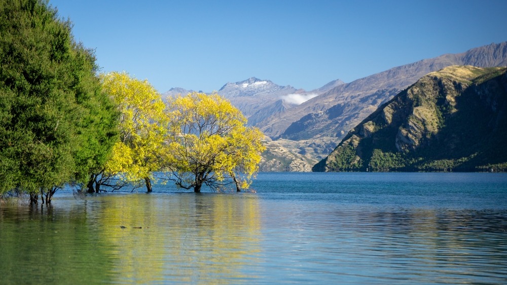
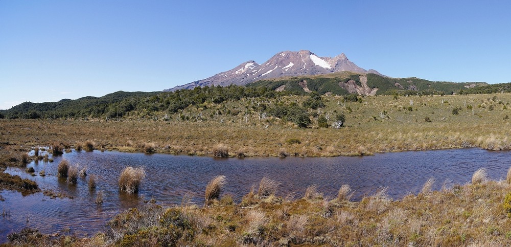
In the south-west of New Zealand's South Island, Fiordland National Park spans 12,500 km² of fjords, mountains and temperate forests. The country's largest protected area and greatest of 13 national parks, it forms the centrepiece of the Te Wahipounamu UNESCO site, inscribed in 1990 alongside neighbouring Mount Aspiring, Aoraki/Mount Cook and Westland parks. From Te Anau, the main gateway, you access largely untamed territory, shaped by successive glaciations and long inhabited by the Ngāi Tahu tribe.
Why visit Fiordland National Park
Fiordland concentrates several New Zealand geographical superlatives: the country's deepest fjord (Doubtful Sound / Patea), three of ten official Great Walks, and one of the world's largest expanses of intact temperate forest. The terrain is dramatic — vertical granite walls, fjords penetrating up to 40 km inland, waterfalls such as Sutherland Falls, Browne Falls and Bowen Falls — and the extremely humid climate sustains rare biodiversity.
It is also cinematic territory: several scenes from the Lord of the Rings trilogy were filmed here, contributing to its international renown. Yet the bulk of the landscape remains road-inaccessible, preserving its remote character.
History and legends
Long before European arrival, the region was frequented by the Ngāi Tahu tribe, who came to hunt, fish and especially harvest pounamu — New Zealand's greenstone — as well as takiwai, a rare jade variety extracted from the fjords.
Māori oral tradition attributes the landscape's shaping to the giant Tu Te Rakiwhanoa, who carved the steep valleys with adzes to make the region habitable. This legend remains central to the place's cultural identity.
The 19th century brought European seal hunters and whalers, who used the coves as shelters. Harsh climate and isolation prevented lasting colonisation. Territory protection began in 1904, when over 10,000 km² were placed in a national reserve at the initiative of Thomas Mackenzie and John Hay. The national park was officially created in 1952 and is today managed by the Department of Conservation (DOC). Milford Sound / Piopiotahi, described by Rudyard Kipling as the "eighth wonder of the world", remains the most emblematic fjord, followed by Dusky Sound / Tamatea and Preservation Inlet / Rakituma further south.
What to see and do
The fjords
Milford Sound is explored by cruise, kayak or air. More remote, Doubtful Sound offers a quieter atmosphere, without the crowds of the first. Diving reveals a rare phenomenon: a dark layer of fresh water at the surface filters light and allows observation of black corals at shallow depths, where they live elsewhere at hundreds of metres.
Great Walks and other hikes
Three of New Zealand's Great Walks cross the park:
- Milford Track (4 to 5 days), the most renowned
- Kepler Track (3 to 4 days), a loop from Te Anau
- Routeburn Track (3 to 4 days), which connects to Mount Aspiring National Park
Experienced trampers can venture onto the Hollyford Track or Dusky Track, more demanding routes. For day walks, Lake Marian, Gertrude Saddle and Mirror Lake remain accessible.
Fauna and flora
The forest blends southern beeches (red, silver, mountain) with endemic conifers — rimu, miro, totara, kahikatea. For fauna, Fiordland harbours emblematic species: takahē and kakapo (birds once thought extinct), southern brown kiwi, yellow-crowned parakeet, blue duck, mohua, New Zealand falcon. On the coastline, the Fiordland crested penguin — one of the world's rarest — shares waters with the little penguin, the smallest of all.
Fjord waters host bottlenose and dusky dolphins, orcas, sperm whales, humpback and southern right whales, as well as fur seals, leopard seals and southern elephant seals. Several islands have been transformed into ecological sanctuaries: Anchor (kakapos, mohua, tieke, spotted kiwis), Breaksea, Chalky, Resolution and Secretary Island, which shelters the Fiordland skink, tokoeka and kokako.
Lakes and fishing
Monowai, Hauroko and Poteriteri lakes (the latter accessible only on foot) are prized for fly-fishing, particularly for brown and rainbow trout. An official permit is mandatory.
When to visit
The park welcomes visitors year-round, but each season brings its own constraints:
- Southern summer (December-February): mildest temperatures, trails open, but crowds at Milford and intense sandfly presence — insect repellent essential.
- Autumn (March-May): reduced crowds, changing light, still favourable hiking conditions.
- Winter (June-August): snow at altitude, some trails closed or hazardous, but fjords particularly dramatic beneath low clouds.
- Spring (September-November): snowmelt and heavy rains amplify waterfalls.
Booking Great Walks huts is mandatory between October and April, with reservations opening several months ahead.
Info and practical advice
Outside summer season, check road and weather conditions before departing: the region receives one of the country's highest rainfalls. For Great Walks, reserve huts several months in advance via the DOC. On more challenging routes, guided walks are preferable if you're a novice.
Sandflies are highly active in summer: pack effective repellent, long sleeves and a mosquito net for bivouac nights. Hunting and fishing require official permits. Always notify park rangers of your plans if staying overnight — this facilitates rescue operations if needed.
How to get there
Access the park chiefly from Te Anau and Manapouri, where accommodation and services concentrate. State Highway 94 crosses Eglinton Valley, passes through Homer Tunnel and leads directly to Milford Sound wharf. Secondary roads, sometimes unsealed, serve Hollyford Track trailheads and Monowai, Hauroko and Poteriteri lakes.
Doubtful Sound is reached in two stages: boat crossing of Lake Manapouri, then shuttle bus over Wilmot Pass. For an overview, scenic flights by plane or helicopter depart from Queenstown, Glenorchy and Te Anau. Some wilderness-classified zones remain accessible only on foot.
Nearby attractions
Beyond the park, the South Island offers other remarkable natural terrain. Arthur's Pass National Park, further north, crosses the Southern Alps between Christchurch and the west coast. Banks Peninsula, near Christchurch, features very different volcanic coastline. Further north still, Cape Foulwind is known for its fur seal colony.
FAQ
Frequently asked questions
A fjord is a deep, narrow glacial valley flooded by the sea, with steep walls. In New Zealand, they are often called sounds, although that term technically designates submerged river valleys.
Te Anau is the park's main gateway, followed by Manapouri further south, which serves as access to Doubtful Sound.
Allow a minimum of 2 to 3 days to combine Milford Sound with a short walk. For a complete Great Walk, allow 4 to 5 days, plus logistical transport time.
Milford is most accessible and visually spectacular, but also most crowded. Doubtful Sound requires a longer journey (Lake Manapouri plus shuttle), but offers a calmer experience and sense of isolation.
Reservations typically open several months before the season (October to April) via the Department of Conservation. For Milford Track, places sell out quickly upon opening.
Plan your journey
Fiordland fits naturally into a South Island itinerary, complementing Queenstown, Mount Cook or the west coast. To build a coherent trip, consult our New Zealand travels, adaptable to your preferred duration and walking pace.
Interested in this visit?
We can include it in your personalised itinerary.