Arthur's Pass National Park
Arthur's Pass National Park
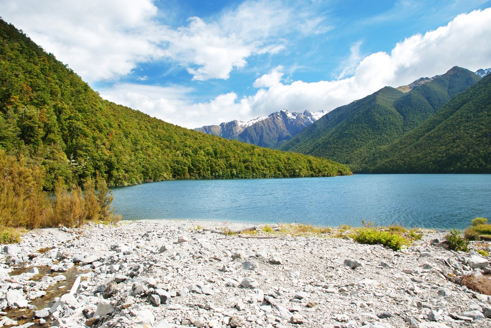
In the heart of the Southern Alps, Arthur's Pass National Park combines glaciated peaks, contrasting forests and endemic wildlife, 2 hours from Christchurch.
Arthur's Pass National Park stretches across the heart of New Zealand's South Island, between the steep slopes of the Southern Alps. Established in 1929, it was the country's third national park and the first on the South Island. Far more than a simple pass linking Canterbury to the West Coast, the park brings together glaciated landscapes, deep gorges and remarkable endemic biodiversity. Managed by the Department of Conservation, it offers trails for all levels, from family-friendly forest walks to demanding alpine traverses.
Why Visit Arthur's Pass
Arthur's Pass concentrates, within a compact area, several facets of New Zealand's high mountain terrain: summits above 2,000 m, retreating glaciers, beech and podocarp forests, wild rivers and endemic wildlife. Arthur's Pass village, accessible by train or car from Christchurch, serves as an ideal base for exploring on foot, without heavy logistics.
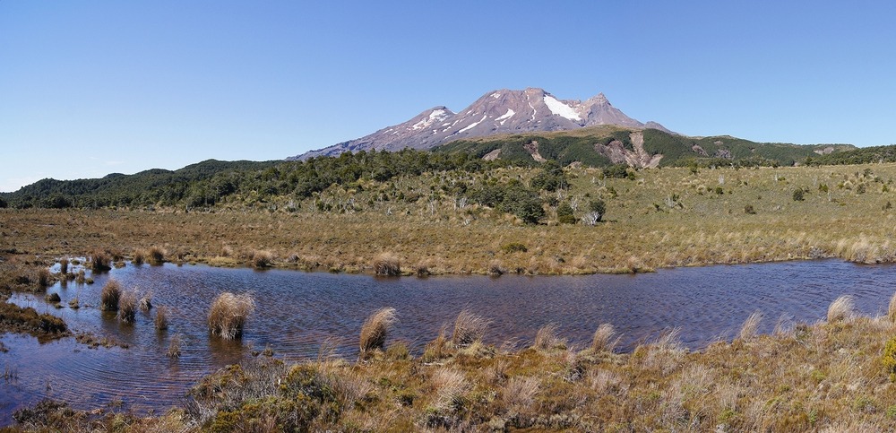
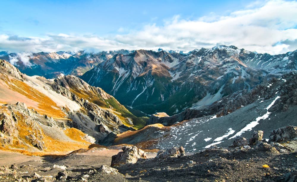
The park also presents a marked geographical contrast. To the east, a drier climate gives way to braided rivers (Waimakariri, Bealey, Poulter) and mountain beech forests. To the west, high rainfall nurtures dense podocarp and rātā vegetation, cut through by the Otira and Deception gorges. Between them, Mount Rolleston (2,275 m) and Mount Murchison (2,400 m) dominate a landscape shaped by glaciation.
History of the Park
Long before European arrival, Māori peoples crossed the region's passes to transport pounamu (jade) from the west coast to Canterbury. It was following their guidance that in February 1864, explorer Arthur Dudley Dobson identified and mapped the pass that now bears his name.
The following year, driven by the West Coast gold rush, an alpine road was opened in record time: a thousand workers, equipped with simple hand tools, completed the route despite winter conditions and rugged terrain. Stagecoaches regularly travelled it from 1886 until 1923, the year the Ōtira railway tunnel (8.5 km) opened—then the longest in the British Commonwealth at the time of its completion.
Protection of the site developed in stages. The Lands Act of 1885 and the Scenery Preservation Act of 1903 laid early foundations. With the growth of railway tourism, overexploitation of rātā flowers sparked a shift in consciousness that led to the park's official creation in 1929. The first ranger, Charles Edward Warden, lived in a cabin nicknamed "Tin Town"; it was not until 1938 that a full-time ranger was employed. Riversdale plain, excluded from the park boundary in 1929, was still subject to legal proceedings in 2021.
What to See and Do
Endemic Wildlife
The park is home to several iconic species: the kea, an inquisitive and noisy mountain parrot, the kākāriki kataka (rare parakeet), the great spotted kiwi (discreet and nocturnal) and the weka, reintroduced in the 1970s. On the Bealey River, you can observe the whio, or blue duck, a threatened species. At altitude, the rock wren frequents rocky zones, while the yellow-breasted tit signals its presence in forests from early morning.
Easy and Family-Friendly Walks
- Devils Punchbowl Falls: short walk to a cascade over 130 m, accessible from the village.
- Bridal Veil Track: forest loop walk in the immediate vicinity of the village.
- Dobson Nature Walk: botanical walk at altitude, ideal for learning to identify alpine flora.
Full-Day Itineraries
- Avalanche Peak: demanding ascent (significant elevation gain) to a panoramic summit overlooking neighbouring ranges.
- Bealey Spur Track: gradual climb along a forested then alpine ridge, more accessible than Avalanche Peak.
- Scott's Track: steep route, reserved for experienced hikers.
Multi-Day Treks
- Edwards-Hawdon: multi-day traverse with pass crossings and nights in mountain huts.
- Mingha-Deception Track: challenging route, part of the Coast to Coast route.
- Carrington Hut Route: ascent up the Waimakariri basin to Harman Pass.
Mountaineering and Skiing
Mount Rolleston (2,275 m) offers several classic ascent routes. The retreat of Rolleston Glacier provides visible evidence of regional climate change. For skiing, Temple Basin on the slopes of Mount Temple operates during winter season (June to October depending on snow conditions) in a club-like atmosphere, with no commercial ski lifts.
When to Visit
- Summer (December-February): best period for hiking, daytime temperatures between 15 and 25°C, high-altitude trails clear.
- Autumn and Spring (March-April, October-November): striking colours, lighter crowds, cool nights already setting in.
- Winter (June-September): snow-covered landscapes, temperatures potentially below freezing, driving can be difficult on State Highway 73 and high-altitude trails reserved for properly equipped users.
Regardless of season, mountain weather changes rapidly: bring warm and waterproof layers even in midsummer.
How to Get There
- By car: State Highway 73 crosses the park and connects Christchurch (approximately 2 hours east) to Greymouth (approximately 1 hour west). The route includes viaducts and waterfalls, notably the Otira viaduct.
- By train: the TranzAlpine connects Christchurch to Greymouth daily with a stop at Arthur's Pass mid-morning outbound and mid-afternoon return, allowing a day trip from Christchurch.
- By shuttle: several private companies serve the village from Christchurch and Greymouth.
Practical Advice
- Report your itinerary to someone and confirm your return.
- Check the park visitor centre in the village for trail conditions, weather bulletins and avalanche reports.
- Do not cross a swollen river: wait for water levels to recede, sometimes just a few hours suffice.
- Do not feed keas and secure your belongings: they are curious and can damage shoes, car seals or bags left unattended.
- Basic equipment: mountaineering boots, warm and waterproof clothing, trekking poles, headlamp, first aid kit with emergency blanket, waterproof bag for documents.
Nearby Attractions
Arthur's Pass fits naturally into an itinerary combining the South Island and some sites on the North Island. Several complementary stops lend themselves to a logical sequence:
- Banks Peninsula, near Christchurch, for a coastal day out contrasting with the alpine atmosphere.
- Cape Foulwind, on the West Coast, accessible from Greymouth, to observe sea lions and cliffs.
- Fiordland National Park, further south, to extend the experience of vast alpine and lake landscapes.
FAQ
Frequently asked questions
Yes, particularly if you're travelling between Christchurch and the West Coast. The park combines alpine landscapes, endemic wildlife (kea, whio) and a wide range of trails. A day is enough for some accessible walks; a stay of two to three days allows you to undertake a high-altitude itinerary.
Yes. Between June and September, snow falls regularly and can disrupt traffic on State Highway 73. Temple Basin operates during this period.
The pass crosses the Southern Alps between Springfield, on the Canterbury side to the east, and Otira, on the West Coast. Arthur's Pass village sits at the highest point of the road route.
This depends on the trail you choose. Allow about 30 minutes for Devils Punchbowl Falls, a half-day to a full day for Avalanche Peak or Bealey Spur, and several days for traverses such as Edwards-Hawdon or Carrington Hut.
Plan Your Trip
To incorporate Arthur's Pass into a complete itinerary across the Southern Alps and West Coast, check our custom New Zealand journeys.
Interested in this visit?
We can include it in your personalised itinerary.