Aoraki/Mount Cook National Park
Aoraki/Mount Cook National Park
New Zealand's highest peak, Aoraki/Mount Cook brings together glaciers, Ngai Tahu Maori heritage, alpine trekking and one of the world's most spectacular starry skies.
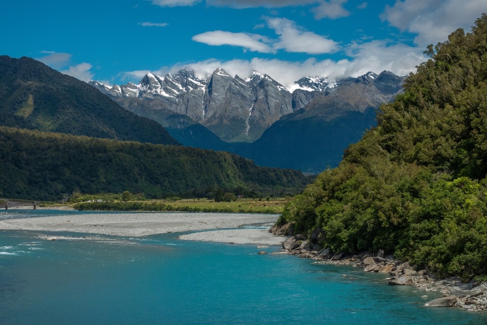
Aoraki/Mount Cook National Park spans 707 km² across the Southern Alps on New Zealand's South Island. More than 40% of its area is covered in permanent ice, and it is home to the country's 19 highest peaks, including Aoraki/Mount Cook at 3,754 metres. Beyond its alpine landscape, the site carries profound spiritual significance for the Ngai Tahu Maori people and stands as one of the world's finest stargazing reserves.
Why Visit Aoraki/Mount Cook Park
The park combines several attractions rarely found together: alpine terrain among the planet's most active (peaks gain roughly 50 cm in elevation per century), a network of over 140 glaciers including the Tasman, New Zealand's largest, and status as an International Dark Sky Reserve that makes it a major hub for amateur astronomy.
The park is part of the UNESCO World Heritage site Te Wahipounamu, shared with Westland National Park to its west. Its configuration welcomes diverse audiences: family-friendly trails under an hour, demanding high-altitude treks, technical mountaineering, scenic flights departing from Mount Cook Village.
History and Maori Significance
For Ngai Tahu, the South Island's iwi (Maori tribe), Aoraki is not merely a mountain but an ancestor. According to ancestral tradition, Aoraki was one of the sons of Rakinui (Father Sky) and Papatuanuku (Mother Earth). With his brothers, he embarked on a celestial canoe voyage around the Earth. The vessel struck a reef and capsized. Sheltering on the upturned hull, the brothers were frozen by an icy wind from the south. The petrified canoe became Te Waka o Aoraki, the present South Island, and the brothers transformed to stone formed the peaks of the Alps. Aoraki, the eldest, dominates the range.
The park itself was established in 1953. Recognition of Maori cultural significance culminated in 1998 with the official dual name Aoraki/Mount Cook, joining the ancestral designation with the name honouring navigator James Cook.
What to See and Do
Hiking
The Hooker Valley Track is the most-walked route: 10 km return, relatively flat with three swing bridges and arrival at Hooker Lake with Aoraki as backdrop. Allow 3 to 4 hours.
The Sealy Tarns Track, nicknamed "the staircase to heaven," climbs over 2,000 steps to alpine tarns offering panoramic views over Hooker Valley. The Mueller Hut Route extends this trail to an alpine shelter at 1,800 metres, typically covered as a two-day return trip. The Ball Pass Trek is a technical alpine crossing reserved for experienced hikers and ideally undertaken with a guide.
For a short, accessible option, Kea Point Track leads to a Mueller Glacier viewpoint in less than two hours return.
Mountaineering, Skiing and Glaciers
Climbing Aoraki remains a demanding expedition, suited to seasoned mountaineers. Several local guides offer mountaineering instruction and guided glacier outings. In winter, ski touring and helicopter skiing are practised on neighbouring massifs. The Tasman Glacier, spanning roughly 27 km, can be approached on cruises navigating between icebergs calved from the glacier face.
Cycling
The Alps 2 Ocean cycleway departs from Aoraki and reaches the Pacific over 300 km-plus, alternating easy sections with intermediate passages alongside glacial lakes.
Scenic Flights and Stargazing
Aircraft and helicopter flights from Mount Cook Village offer an aerial perspective of the Southern Alps, some including glacier landings. At night, the Sir Edmund Hillary Centre at the village offers astronomy sessions benefiting from low light pollution.
Flora and Fauna
Alpine flora includes Ranunculus lyallii, called Mount Cook lily, whose white petals rank among the world's largest despite its misleading name (it is not a true lily). Slopes host Southern beeches, tussock grasses, ribbonwoods and wind-resistant shrubs adapted to strong solar exposure. Beware of Tutu, an endemic plant with red berries highly toxic (tutin toxin): do not touch or consume.
On the fauna side, the kea, a curious and protected alpine parrot, is the most emblematic resident. Also spotted are pipits, rock wrens, fantails and, near waterbodies, paradise shelducks. At altitude, tahr (Himalayan wild goat, introduced), chamois and red deer frequent rocky slopes.
When to Go
The Southern summer, December to March, offers the most stable conditions for hiking and alpine hut access. Autumn (April–May) brings striking colours in valleys and lighter crowds. Winter (June–September) is the season for skiing, winter mountaineering and astronomy: long nights, often clear skies, low temperatures. Spring remains changeable but pleasant for low-altitude trekking.
Alpine weather shifts rapidly year-round: always check Department of Conservation (DOC) forecasts before departing.
Practical Information
Park entry is free. The visitor centre at Mount Cook Village holds information on trail conditions, weather and permits for high-altitude routes. Several trails feature steep or exposed sections: appropriate gear, water, windproof clothing and locator beacons are advised for technical pursuits.
White Horse Hill Campground offers free parking with facilities and trailheads for several walks including Hooker Valley Track. Village accommodation is limited: booking ahead is wise, especially in peak season.
How to Get There
Access is via State Highway 80 (Mount Cook Road), which borders Lake Pukaki and opens clear views onto the alpine range. Reckon roughly 4 hours from Christchurch, just over 3 hours from Queenstown, 2.5 hours from Wanaka and about 1 hour from Tekapo. Tourist buses regularly connect Christchurch and Queenstown to the village.
For faster arrival, Mount Cook Airport receives flights from Queenstown operated notably by Glenorchy Air.
Nearby Attractions
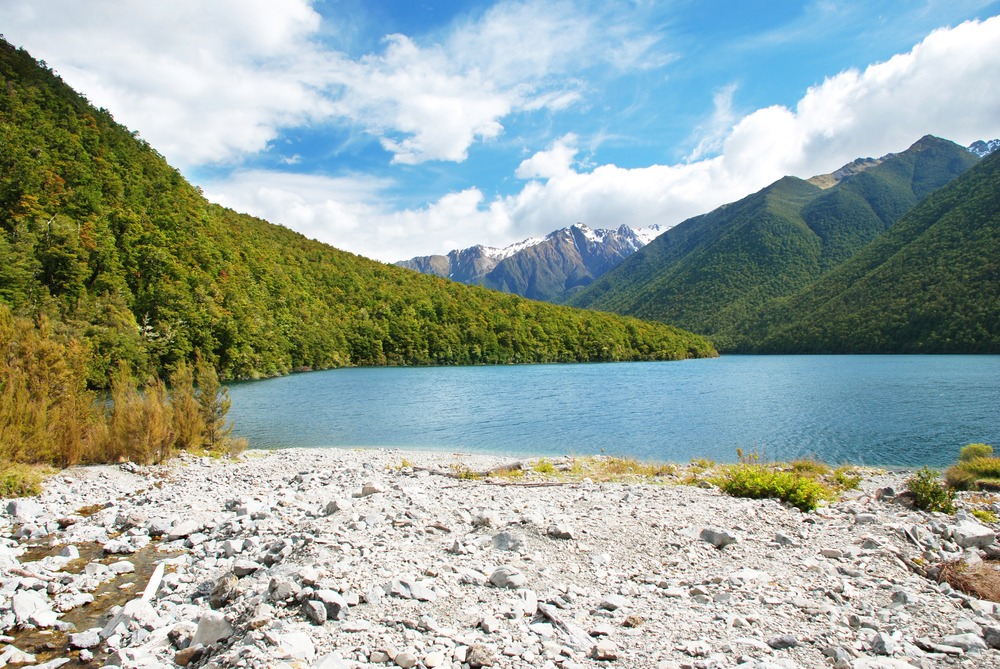
The region offers numerous short-distance extensions. Lake Tekapo and Lake Pukaki, with turquoise waters from glacial flour, suit photo stops and walks. Further south, the Twizel area serves as a practical base. The valley towards Wanaka accesses other alpine parks. Along the route linking east coast to mountains, several geological sites warrant detours, such as Elephant Rocks, the spherical concretions of Moeraki or the rock formations of Kura Tawhiti (Castle Hill).
FAQ
Frequently asked questions
Aoraki/Mount Cook, at 3,754 metres, is the country's highest point.
No, access to the national park is free. Certain guided activities (flights, glacier cruises, guided climbs) and use of some shelters are paid.
The Hooker Valley Track (10 km return, nearly flat) remains the most popular and easiest. For a shorter option, Kea Point Track offers Mueller Glacier views in under two hours return.
Yes, the park is part of an International Dark Sky Reserve. The Sir Edmund Hillary Centre at the village offers astronomy sessions.
For Ngai Tahu, Aoraki is an ancestor, son of Rakinui (Father Sky) and Papatuanuku (Mother Earth), petrified with his brothers to form the Southern Alps' peaks. The official dual name Aoraki/Mount Cook was recognised in 1998.
Plan Your Trip
Aoraki/Mount Cook naturally fits into a South Island itinerary among glacial lakes, alpine treks and coastal villages. To build a tailored route including this region, explore our New Zealand journeys.
Interested in this visit?
We can include it in your personalised itinerary.